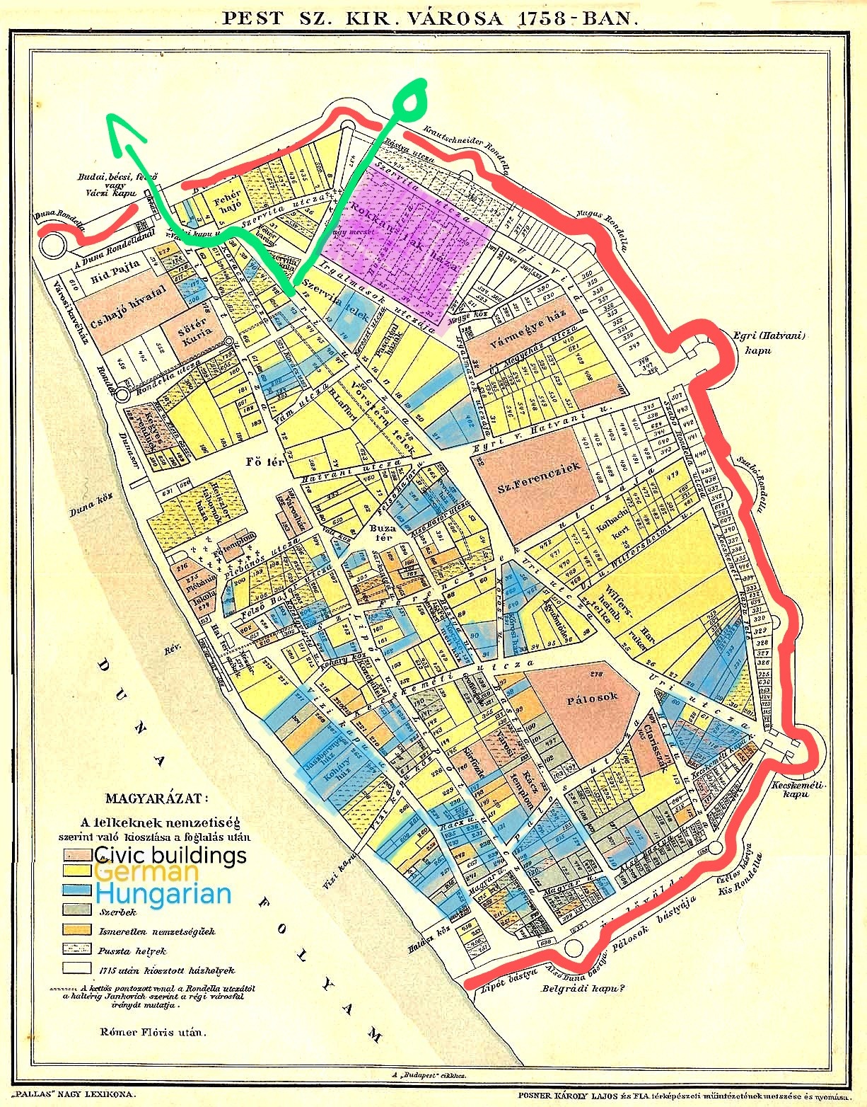
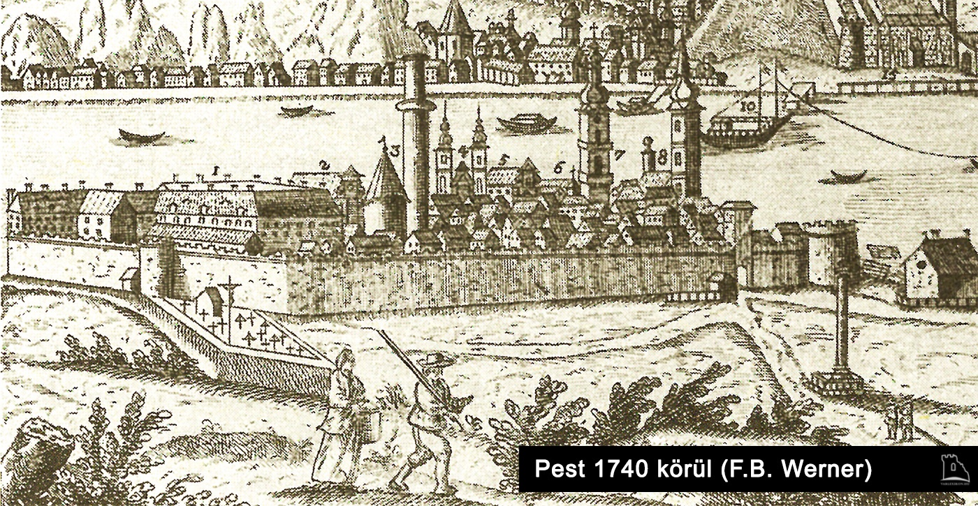
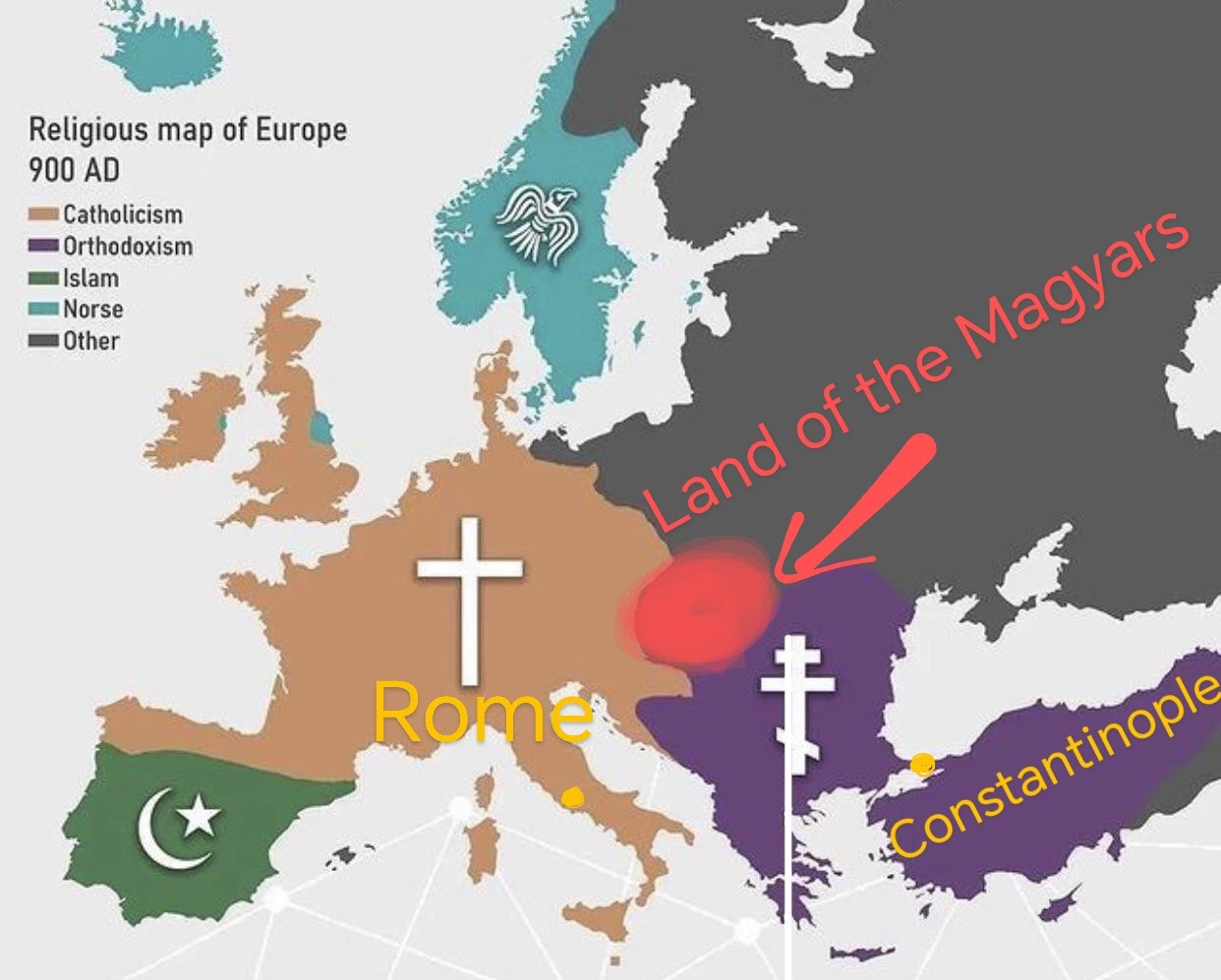
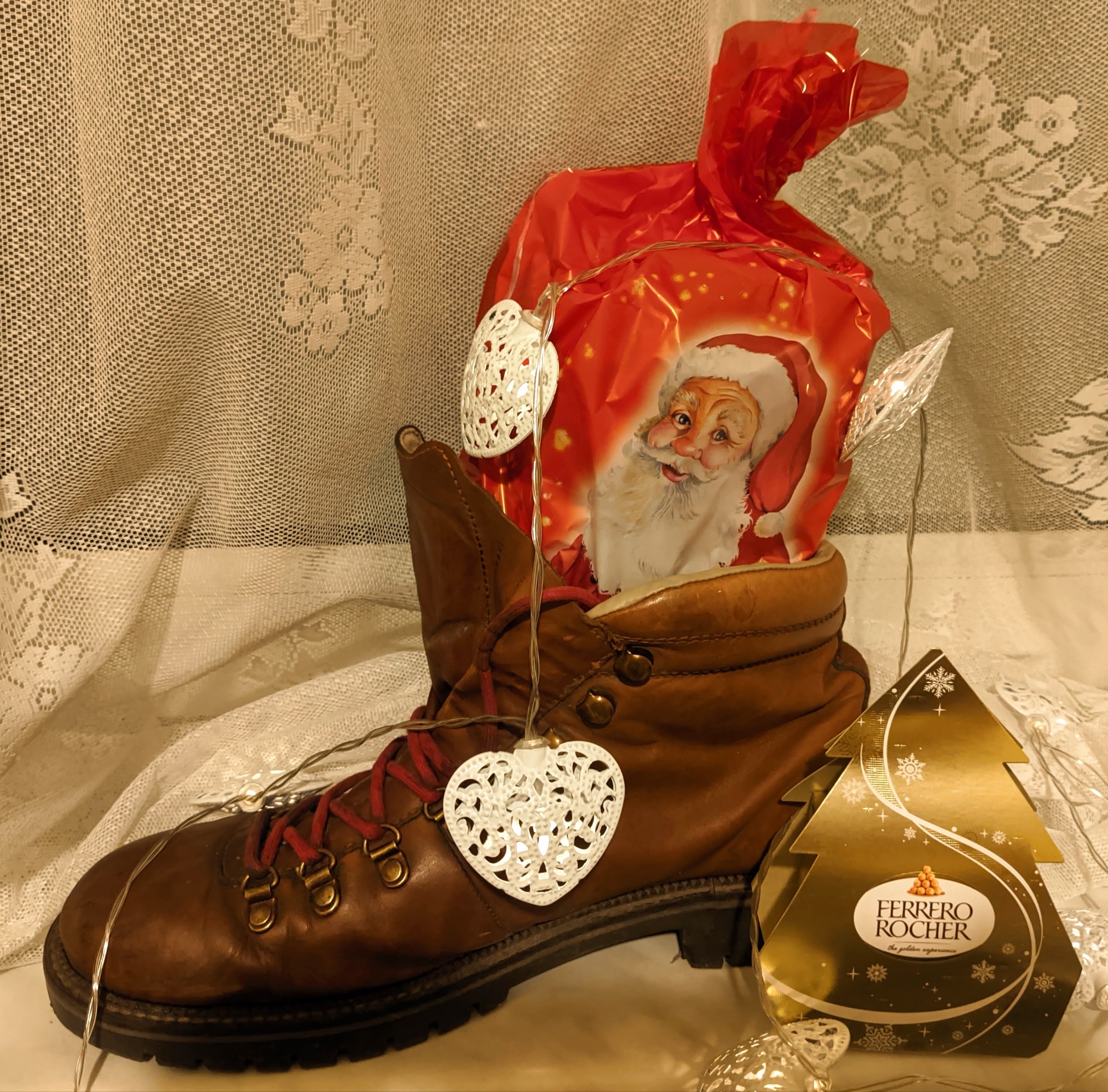
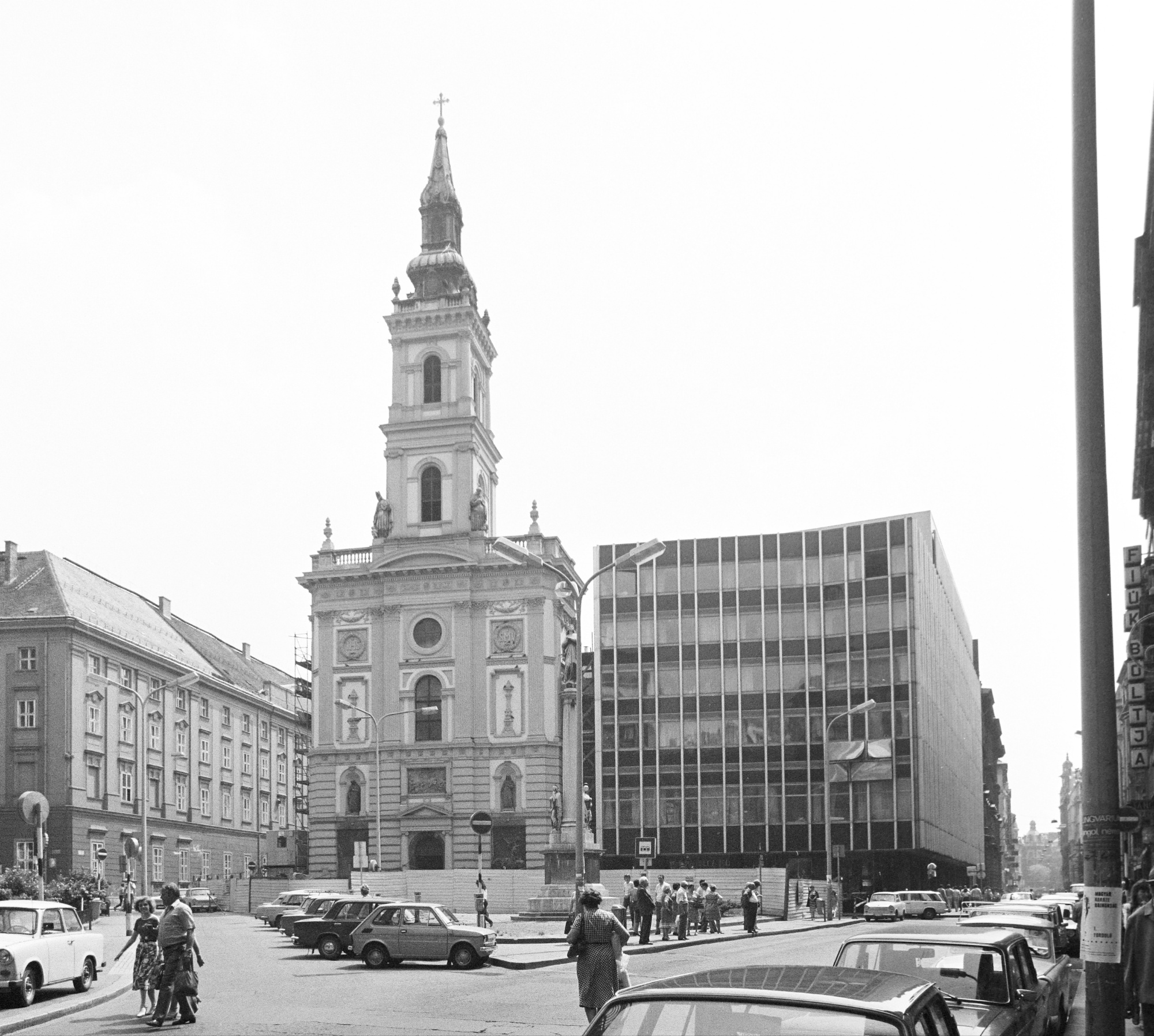
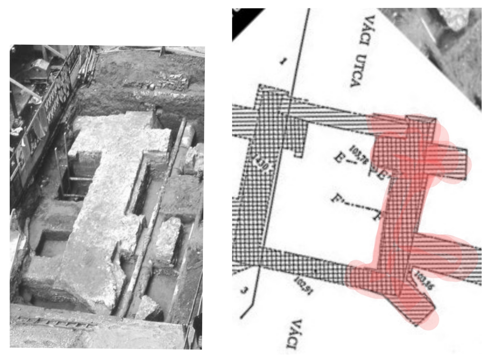
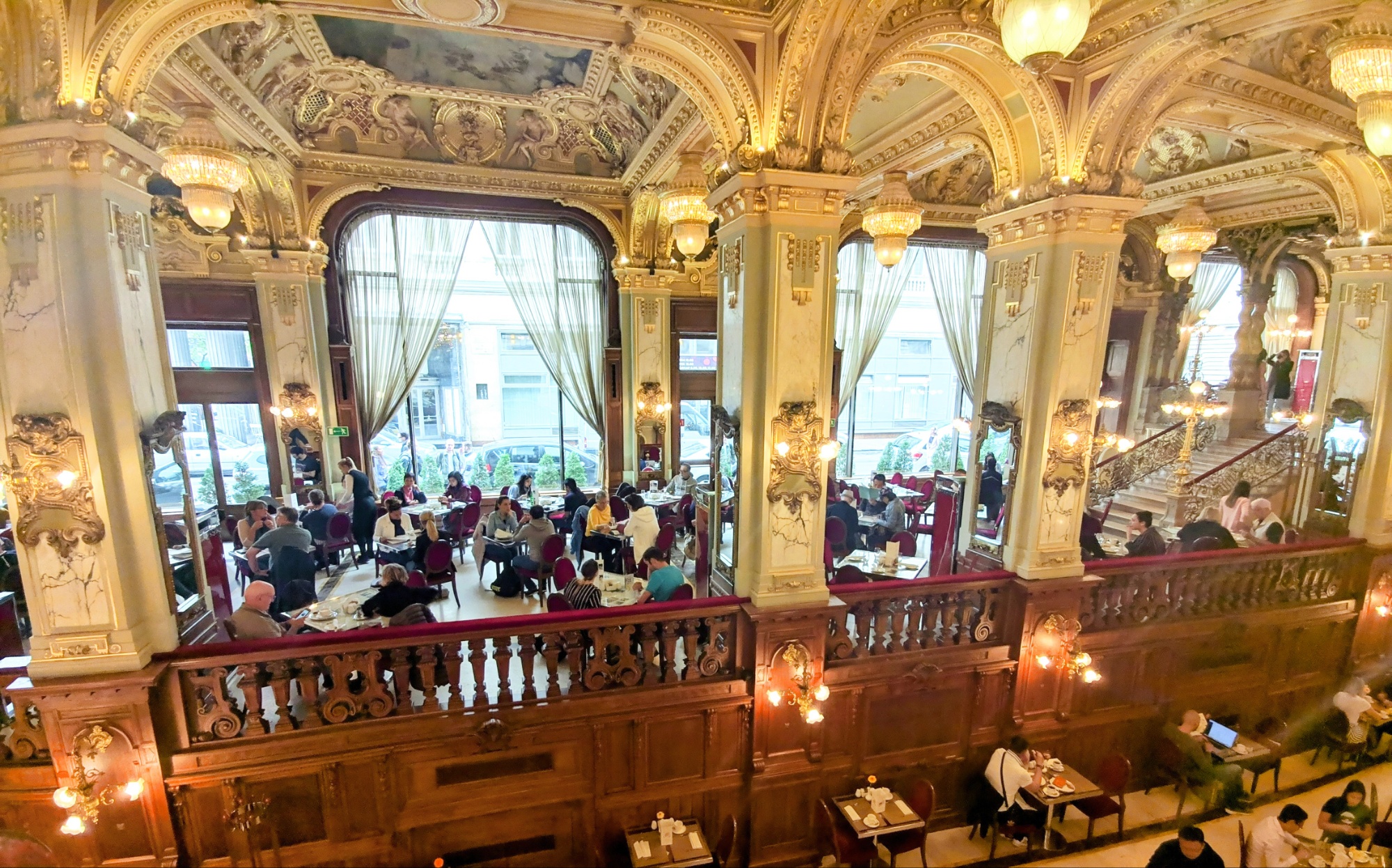
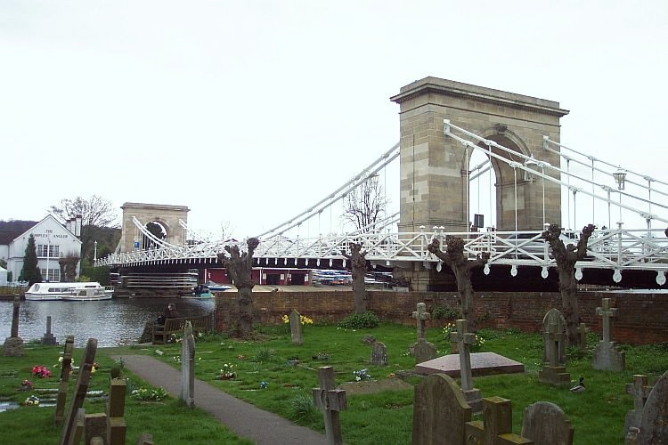
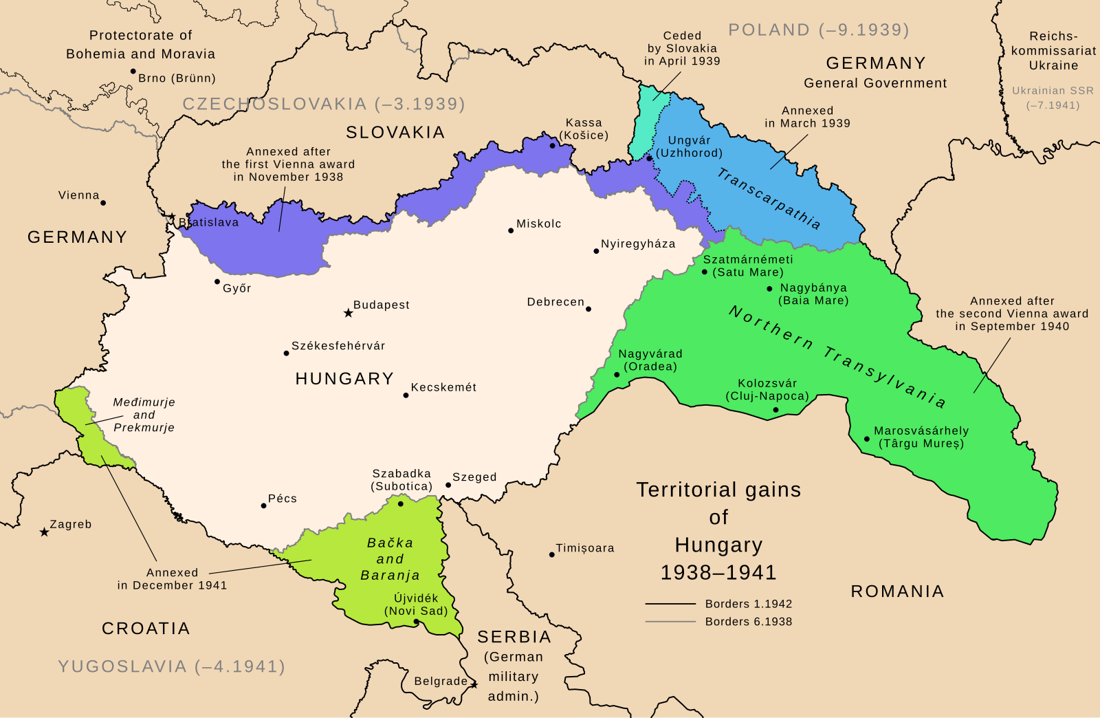
1. Map of the districts2a. Pest – 1758 – green indicates the tour2b. Pest with its medieval city walls3. Religious map of Europe – 900AD – Pinterest4. Mikuláscsomag5a. Szervita tér before 1945 – Fortepan5b. Martinelli tér – 1976 – Fortepan/Uvaterv6. Excavation of the base of the Váci kapu át Váci utca Hungarian foods7. New York Kávéház8. Bridge in Marlow, UK – Wikipedia9. Roller chain10. Lánchíd after WWII – Fortepan11. Saint Leopold Church – plan – Fortepan12. The Holy Right (hand of Saint Stephen’s)13. Szabadság tér – 1905 Fortepan14. Territorial gains 1938-41